GIS Day is an annual event that provides an opportunity for students, staff, faculty and the broader community to learn more about Geographic Information Systems (GIS) and to celebrate the power of geospatial data, methods and technologies for answering research questions and solving real-world problems.
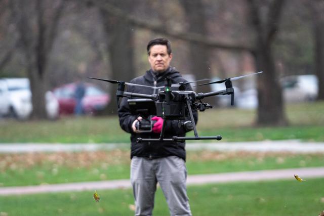
On November 16, Ohio State’s Facilities Information and Technology Services (FITS) provided two different hands-on activities for GIS Day attendees: A chance for them to use Field Maps to help collect new tree plantings on the Oval, and a hands-on drone demo where students and staff had the opportunity to see and handle the drones used for collecting imagery.
Larisa Kruger, FITS GIS Manager, said these opportunities are invaluable for students: “Learning about GIS encourages people to think spatially and more holistically to understand the interconnectedness of all things. If they’re in the geography department it gives them greater understanding of how what they’re learning translates into real world work and application. It exposes them to all the variations of application which may steer their career direction into health, environmental, private sector, or government. If they’re not in geography, it helps them understand a technology they likely use every day in a new way, to gain an appreciation for it and to think of how it could potentially be applied to their own field of study.”
Other than GIS Day, FITS supports student success in many ways. The department has at least two GIS student interns year-round who do field collection in the summer and help integrate project data into the GIS across all campuses in Ohio. They also do Revit and CAD data conversion to ensure the floorplans are available in the department’s GIS Maps and other stand-alone data collection and viewing applications.
Even if you’re not a geography student, Kruger said you can still utilize the department’s resources. “Our drone services are available to almost anyone on campus for a multitude of reasons which have included everything from assessment of parking lot capacity at specific times throughout the day to monthly updates of construction project progress,” she said.
FITS also provides free virtual training classes for a variety of facilities planning needs. Training classes include GIS, Building Information Modeling (BIM), Space Information and Management System (SIMS) and more.